
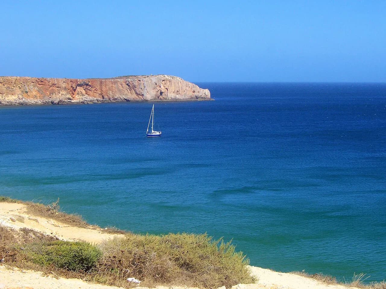
Ponta da Atalaia: the Ribat above Arrifana

Ponta da Atalaia is a windswept clifftop headland on the Algarve's west coast, roughly a kilometre north of Arrifana Beach, and the site is listed as open all day, so there are no set opening hours to plan around. What lifts it above a simple viewpoint is the archaeology beneath your feet, the remains of a Muslim coastal fortress, the Ribat of Arrifana, built around 1130. This page covers where the headland sits, how to reach it, what you actually see and how much of a short break to give it.
What Ponta da Atalaia actually is
This is a headland rather than a built attraction: a blunt promontory of dark rock pushing into the Atlantic, topped with low scrub and the footings of old walls. The Trip.com listing gives the address as 8670-156 Aljezur, which tells you plainly that the site belongs to the Aljezur municipality rather than to Sagres further south. Treat it as a place to walk, look and read the landscape rather than somewhere with set opening hours.

Where it sits and how to reach it
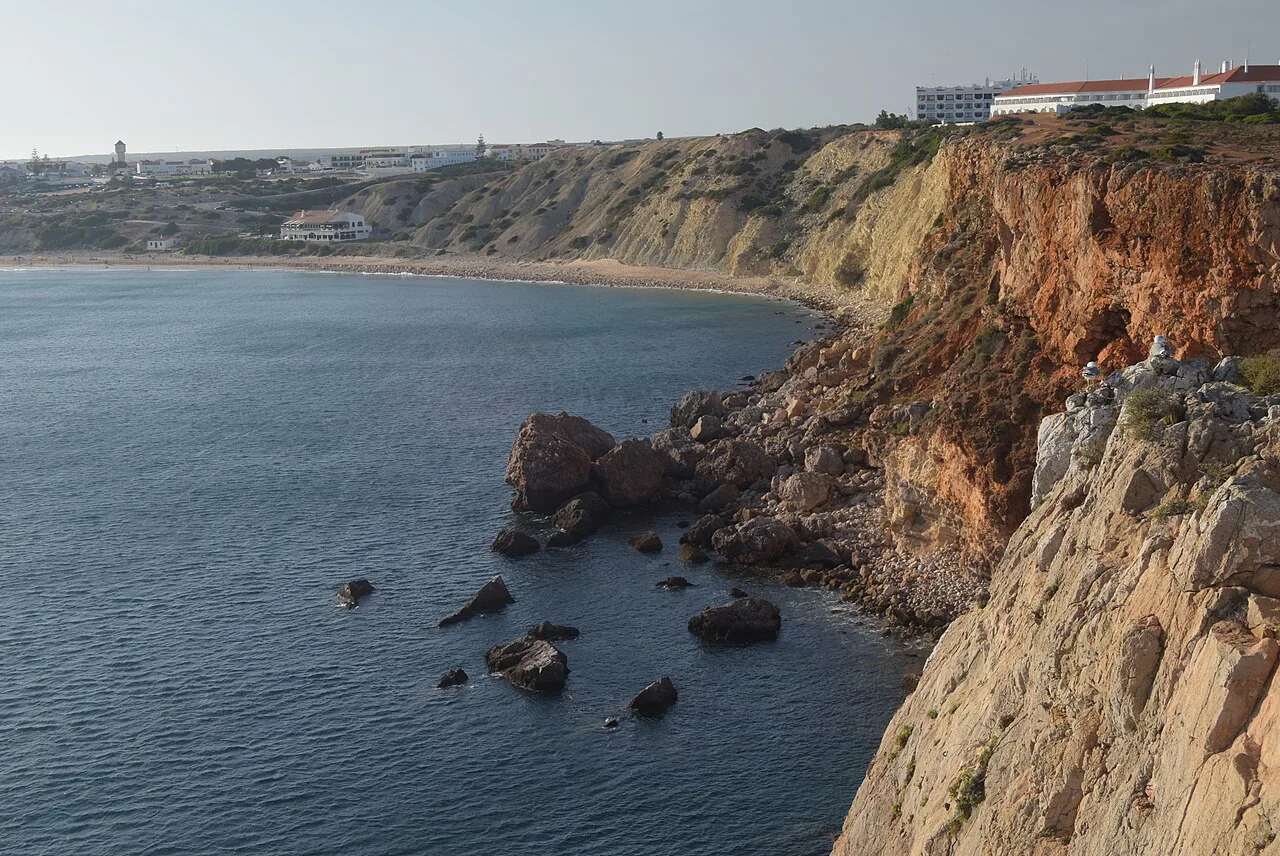
The headland lies about 1 km north of Arrifana Beach. Coming from Aljezur, follow signs for Arrifana and continue past the beach turn rather than stopping at the sand. The lanes out to the point are narrow, so in high season set off early in the day.
If you are touring the Sagres end of the Algarve, the headland makes a natural stop alongside the Sagres attractions clustered around the fortress and lighthouse, though it is a separate run up the coast from those sites. Fit it into the Aljezur half of your days rather than trying to combine it with a morning in Sagres itself.
The Ribat of Arrifana: a fortress and a retreat
The ruins on the point are those of a ribat, a Muslim coastal fortress built around 1130, which gives the headland a history that most Algarve viewpoints cannot match. A ribat combined military defence with religious retreat, so the site was both a watchpost over the sea lanes and a place of seclusion for devout communities. Standing among the excavated wall lines, with the ocean on three sides, that double purpose is easy to picture.
Look for the low stone footings and the outlines of rooms rather than standing walls: this is an archaeological site read from the ground plan, not a reconstructed monument. Allow time to walk the marked lines slowly and to look north along the coast, which is the direction the ribat's inhabitants watched. If you want a more complete picture of Islamic and later fortification on this coast, the Sagres fortress is the bigger, later counterpart.
What you see: cliffs, sea and swell
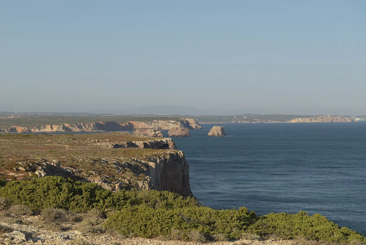
The draw is the view: sheer cliffs dropping to the Atlantic, with the Arrifana coastline running south and a long, broken shore running north. Visitors single out the spectacle of heavy seas breaking against the rocks below, and that is when the headland is at its best.
Atlantic swell here is seasonal and unpredictable, so treat big surf as a bonus rather than a promise. On a calm day the water is clear and the cliff colours sharper; on a rough one, stay well back from the edges, where there is no railing and the grass gives way abruptly. The wind is the constant, and it shapes how long you linger.
How long to allow, and what to wear
Give Ponta da Atalaia an hour: twenty minutes to walk out and read the ruins, twenty for the views and photographs, and the rest for the wind and the uneven ground. It slots neatly into a half-day around Arrifana, but it is not a place to build a whole morning around.
Wear shoes with grip, because the ground is uneven and exposed, and add a windproof layer even in summer, since the headland is exposed on every side. There is no shelter at the point itself, and the nearest cafés and restaurants are back towards Arrifana.

Tickets and access
The site is listed as open all day, so there are no opening hours to build an itinerary around. That makes it a useful early-morning or late-afternoon stop when museums and monuments elsewhere are shut. Check the listing before you drive out if you want to confirm current access arrangements, since clifftop paths can be affected by local works or weather.
Nearby options
Arrifana Beach is the obvious next stop, roughly 1 km south, with its surf and its beach cafés, and the distances on the listing put the Castle of Aljezur about 6.3 km away if you want a hilltop fort to pair with the clifftop one. The same listing also places Bordeira's beach about 13.6 km off.
If you are collecting the smaller coastal fortifications of this stretch, the Baleeira Fort, Sagres is a modest, quieter counterpoint to the Sagres fortress and worth an hour if you are already down that way. Otherwise keep the day local: the ribat, the beach and a late lunch in Arrifana make a coherent half-day without long drives.
Practical last checks before you drive out
Fill up and buy water in Aljezur before heading for the coast, because the point has no facilities and the lanes out are quiet. Check the wind and swell outlook for the west coast on the day: a stiff breeze makes the headland bracing rather than pleasant, and salt spray can reach the parking area.
Time your visit around the light: the cliffs face west and north, so late afternoon gives the warmest colour and the longest shadows over the ruins. Combine it with the Sagres lighthouse further south only if you have a car and a full day, since the two sit on different stretches of coast.
Is Ponta da Atalaia worth the detour?
Yes, if you are already in the Arrifana area: an hour of cliff, ocean and twelfth-century archaeology with no set opening hours is good value in anyone's short break. The listing gives no ticket price, and the headland is unfenced and windy — skip it only if those conditions put you off, or if your days are already full of the Sagres fortifications.
Build it into a morning with Arrifana Beach and the Castle of Aljezur, arrive early in high season, and treat the swell as the variable that decides whether you stay twenty minutes or an hour. For the wider spread of what to see around here, the Sagres Attractions: 4 Visitor Guides page sets out the alternatives.